
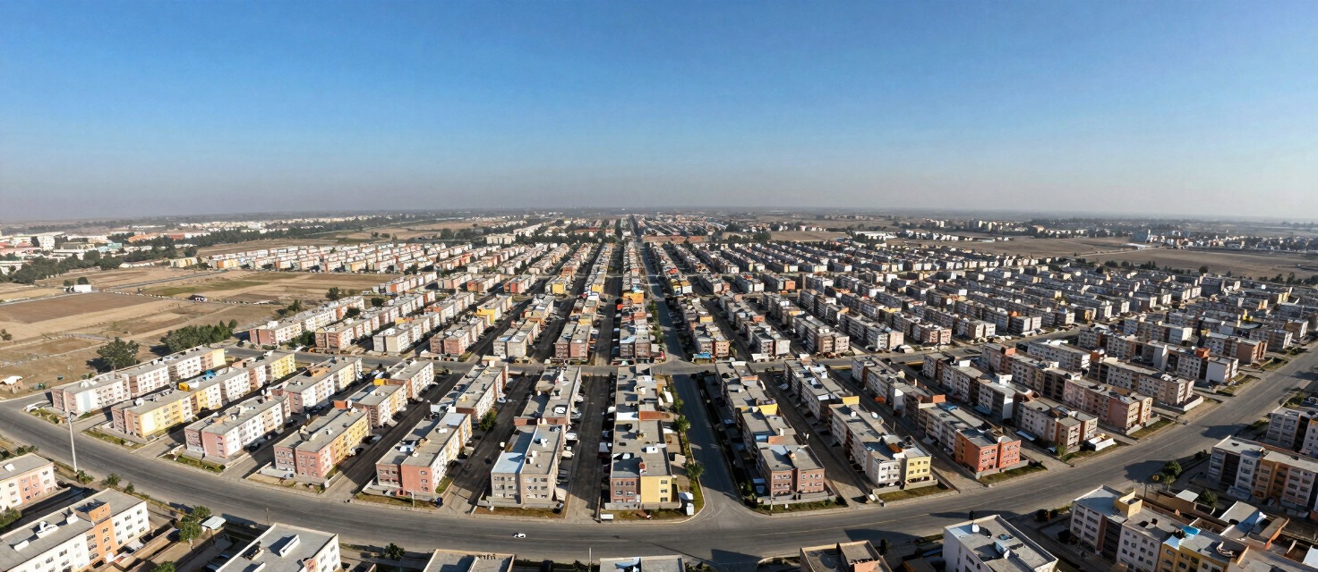
The Master Plan, Built and Photographed
Every photograph here is a site record — aerial grids, laid utilities, park perimeters, and occupied houses across active blocks. No renders. No composites.
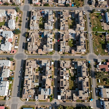
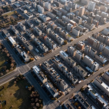
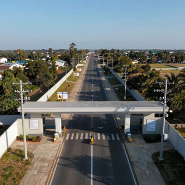
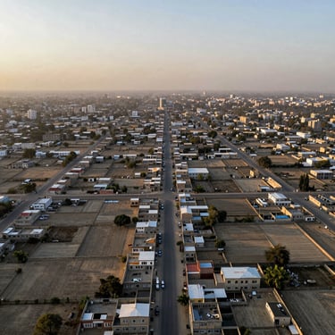
Grid Roads and Allocated Blocks from Above
Overhead photography confirms the society's planned road network and block demarcation match the registered master plan — not a projected layout.
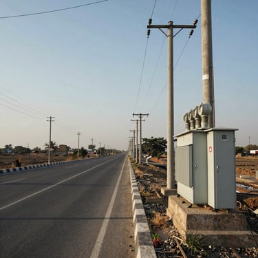
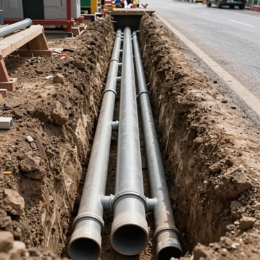
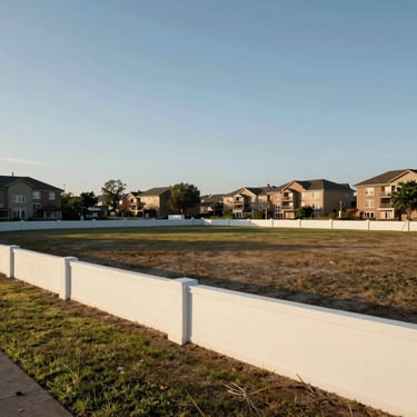
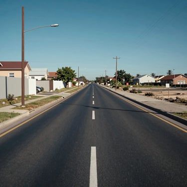

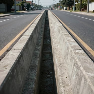
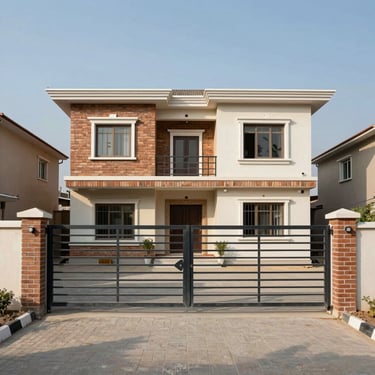
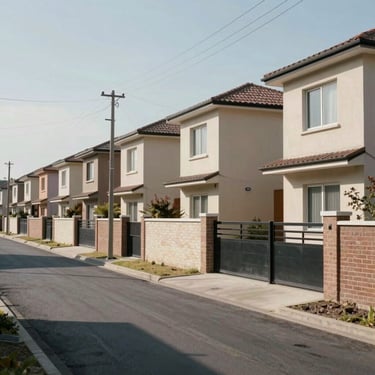
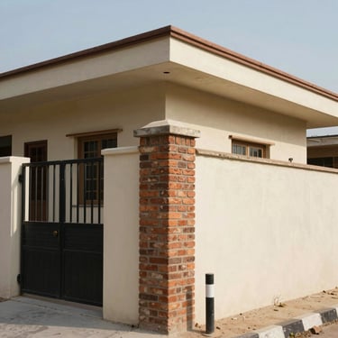
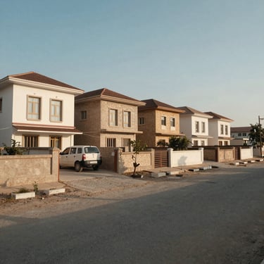
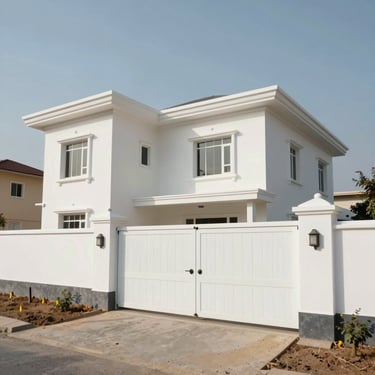
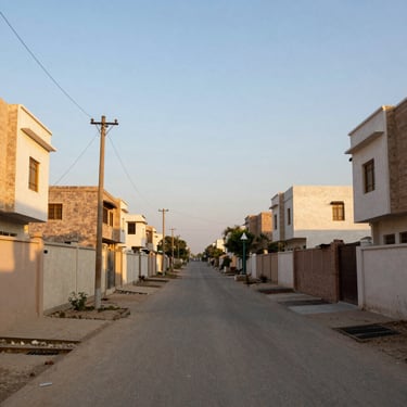
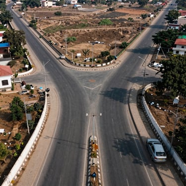
Installed electricity poles, water supply lines, and paved internal roads document infrastructure delivery against the society's original timeline — physical records visible on every block.
Electricity, Water, Roads — On Schedule
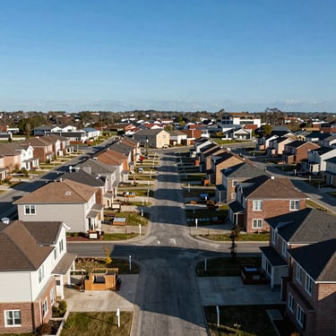
Built and occupied residences across multiple blocks confirm this is a functioning community — not a projected township. Documented ownership drives every completed handover.
Completed Houses Across Active Blocks
Verified On the Ground. Available to Register Today.
Plots of 5, 7, 13 marlas and kanal are available with documented transfer records. Contact the society office to review registered files before any commitment.